Site Assessment
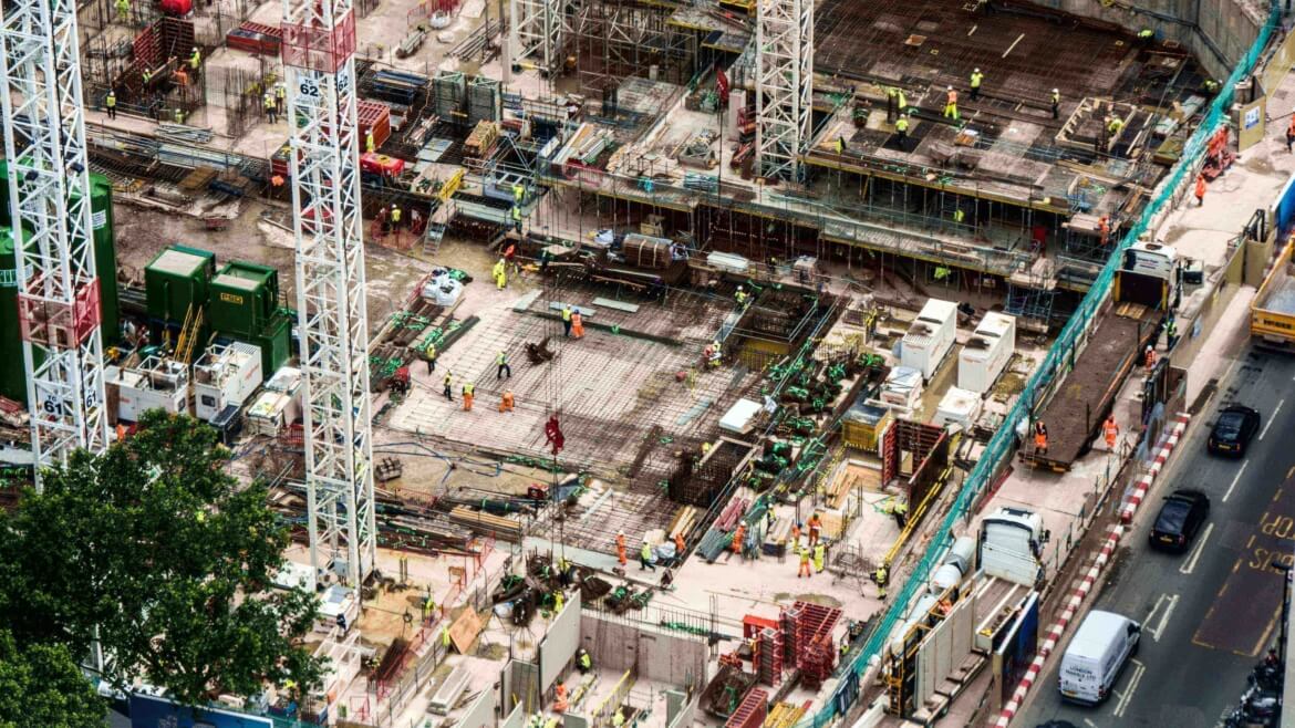
Site assessment is required in many fields such as construction, mining and real estate. Getting a proper assessment in these fields is very important to avoid any further litigations.
Drones play out a generally excellent occupation of getting exact measurements and evaluate the property utilizing photos and recordings. The pictures that got through an elevated perspective give a reasonable image of the property.
Regular inspection of huge construction sites is a laborious task. Drones are used here to perform the inspections faster and also to monitor the area for security concerns. A good amount of training is required to perform these tasks without any error.
Curriculum
- Introduction
- Regulations of DGCA
- Permissions and Digital sky
- Commercial Operations
- Drone Equipment
- Different types of Drones
- Gimbal Balancing
- Principles of Photogrammetry
- Photogrammetric Procedures
- Error Adjustment
- Geo-referencing
- Aerial Triangulation
- Spatial Reference Systems
- Analysis and Evaluation of Data
- Performing Volumetric Calculations
- Cut, Fill, and Volumetric Measurement Calculation
- Lowest Point and Best Fit Base Planes
- Relative vs. Absolute Accuracy
- Project Accuracy Requirements
- Survey-Grade Accuracy
- Techniques to Improve Map Accuracy
- Types of Imagery Products
- Areas of Focus
- Manual Flight Profiles
- Common Manual Images
- Determining the Image List
- Sample Image Lists
- Environmental Impacts
- Image Framing
- Common Camera Settings
- Speciality Camera Settings
- Fundamentals
- Types of Thermal Payloads
- Types of Thermal Inspections
- On-Site Assessment Checklist
- Evaluating Current Weather
- Identifying Hazards
- Determining Take-off/Landing Points
- Adjusting the Flight Profile
- Updating Lost Link Settings
- Determining Appropriate Crew Composition
- Camera Operator Responsibilities
- Visual Observer Responsibilities
- Visual Observer Placement
- Communication Methods
- Crew Briefing


