Agriculture
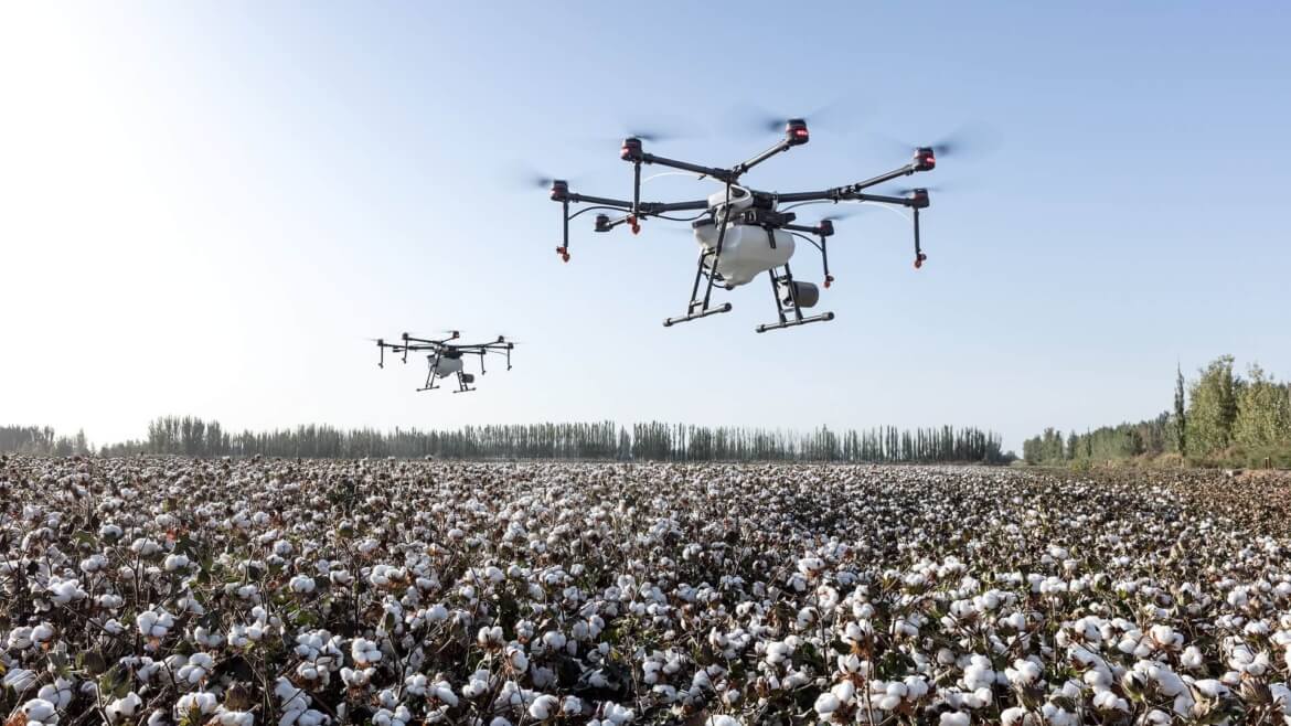
Agriculture is the largest sector in our country has yet to be transformed by technology. One such technological development is the introduction of drones into agricultural practices. Drones have the capacity to upset the area whenever utilized in an appropriate manner.
Drones can be utilized for the survey of the land, inspection, spraying and damage assessment. This helps the farmer to identify the problems and solve them very quickly and efficiently.
In the research field, drones use multispectral aerial imagery to collect data which can be used to make maps such as Normalized difference vegetation index (NDVI), CWSI, CCCI, etc.
Curriculum
- Introduction
- Regulations of DGCA
- Permissions and Digital sky
- Commercial Operations
- Drone Equipment
- Different types of Drones
- Gimbal Balancing
- Types of Imagery Products
- Areas of Focus
- Manual Flight Profiles
- Common Manual Images
- Determining the Image List
- Sample Image Lists
- Environmental Impacts
- Image Framing
- Common Camera Settings
- Speciality Camera Settings
- Fundamentals
- Types of Thermal Payloads
- Types of Thermal Inspections
- On-Site Assessment Checklist
- Evaluating Current Weather
- Identifying Hazards
- Determining Take-off/Landing Points
- Adjusting the Flight Profile
- Updating Lost Link Settings
- Determining Appropriate Crew Composition
- Camera Operator Responsibilities
- Visual Observer Responsibilities
- Visual Observer Placement
- Communication Methods
- Crew Briefing
- Introduction
- Selection of the drone
- Training and handlings agricultural drones
- Surveillance drones
- Digital imaging
- Crop damage identification
- Introduction
- Nozzle selection
- Payloads
- Refills
- Rotation
- Load calculations
- Spray patterns
- Efficiency methods