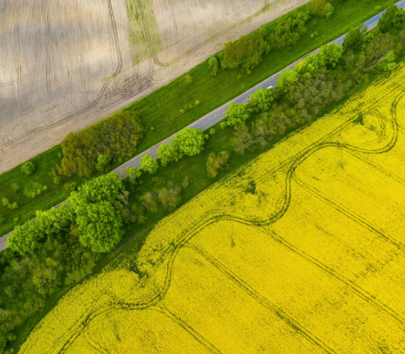
Drone Survey & Mapping
Land assessors lead reviews from the sky rather than the land by utilizing drones. The truth of the matter is that the information caught through drone planning will impeccably supplement what the architects can see starting from the earliest stage. The drone planning answer for independent flights takes out a few dangers related with land studying like hefty hardware and risky wounds.
Our property drone study by our master group offers high overview speed and exactness, negligible and effective spending use, time-proficient, and more secure single device activity to study significant spaces of land territory. Likewise, this sped up and mechanization that drone planning gives grant organizations to securely take on and complete more positions for customers, on more locales in less time.
Curriculum
- Regulations of DGCA
- Permissions and Digital sky
- Commercial Operations
- Drone Equipment
- Different types of Drones
- Gimbal Balancing
- Principles of Photogrammetry
- Photogrammetric Procedures
- Error Adjustment
- Georeferencing
- Aerial Triangulation
- Spatial Reference Systems
- Types of Mapping
- Platform and Payload Considerations
- Mapping for Construction
- Mapping for Agricultural Uses
- Mapping for Engineering purposes
- Fundamentals of Mapping & Modelling
- Mapping Software Overview
- Utilizing Mapping Software for Aerial Drone Inspections
- Autonomous Flight Planning
- Waypoints
- Collecting Imagery for 2D Mapping
- Creating GCPs
- Placing GCPs
- Utilizing the GCP Checklist
- Submitting GCPs in DroneDeploy
- Collecting Oblique Imagery for 3D Modelling
- Orbit at End of Mission
- Manual Collection
- Map Engine Processing Options
- Map Engine Data Requirements
- Data Submission
- Accessing the Final Product
- Map Engine Processing Options
- Map Engine Data Requirements
- Data Submission
- Accessing the Final Product
- Analysis and Evaluation of Data
- Performing Volumetric Calculations
- Cut, Fill, and Volumetric Measurement Calculation
- Lowest Point and Best Fit Base Planes
- Relative vs. Absolute Accuracy
- Project Accuracy Requirements
- Survey-Grade Accuracy
- Techniques to Improve Map Accuracy
- Types of Imagery Products
- Areas of Focus
- Manual Flight Profiles
- Common Manual Images
- Determining the Image List
- Sample Image Lists
- Environmental Impacts
- Image Framing
- Common Camera Settings
- Speciality Camera Settings
- Fundamentals
- Types of Thermal Payloads
- Types of Thermal Inspections